Silverpit Minerals Confirm Cosmic Impact as Model Shows 100-Meter Tsunami
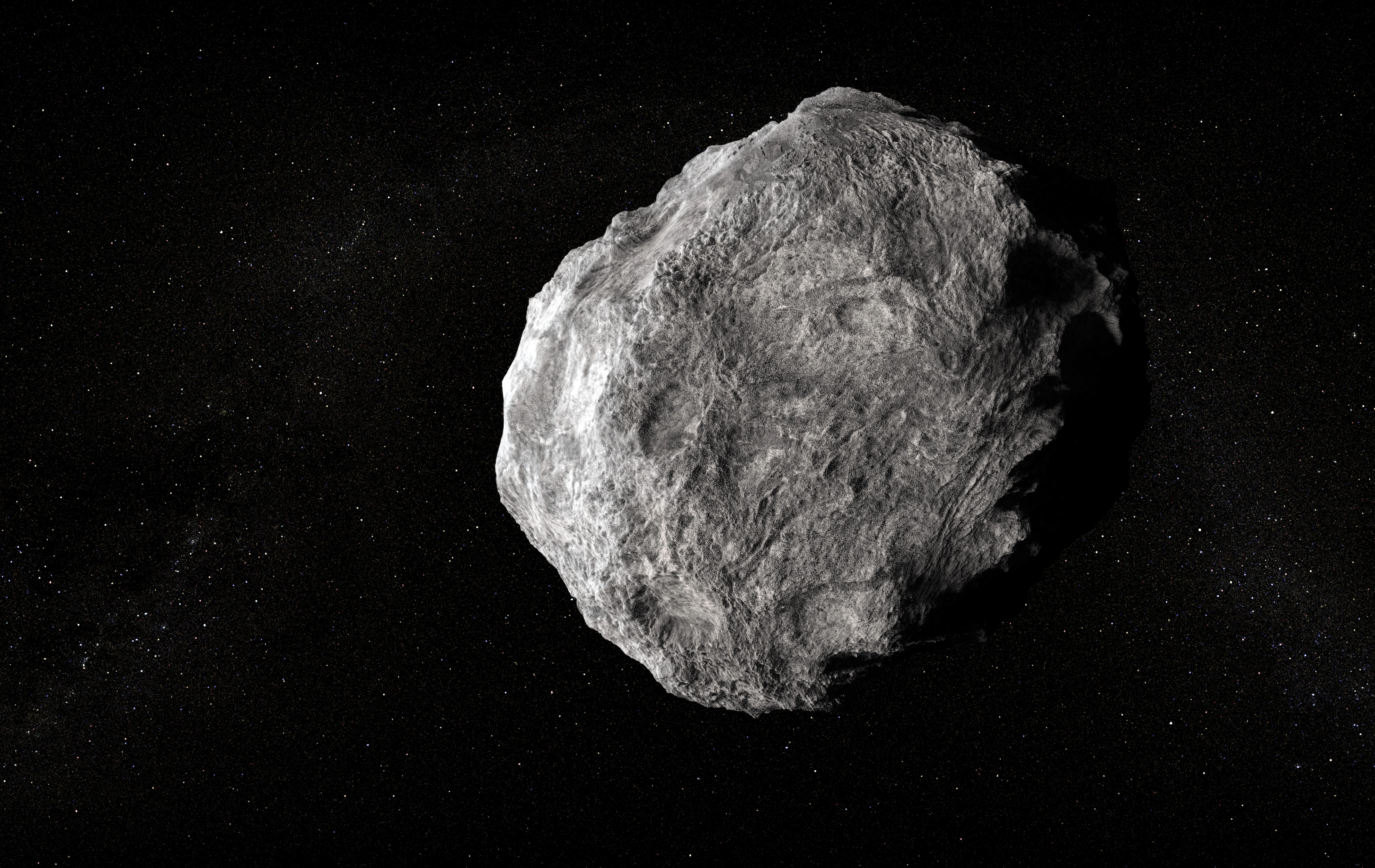
The answer to Silverpit’s 24-year geological mystery came from microscopic damage inside quartz and feldspar. Crystals recovered from the floor of the buried North Sea structure carry shock deformation associated with the extreme pressure of a cosmic impact, supporting the conclusion that an asteroid or comet formed the crater 43 million to 46 million years ago.

The physical finding is paired with a more spectacular but less direct result. Computer modeling indicates that the roughly 160-meter object drove water, rock and debris about 1.5 kilometers upward. The collapse of that column generated a tsunami exceeding 100 meters near the impact site in the simulation, roughly comparable to the height of a 30-story building. Unlike the mineral damage, that wave height is a model-dependent reconstruction rather than a measurement preserved in the geological record.
A crater shape left room for competing explanations
Silverpit lies beneath the North Sea about 130 kilometers off Yorkshire. The crater is approximately three kilometers across and about 700 meters below the seabed, while its surrounding ring faults extend nearly 20 kilometers.
Scientists had debated its origin since the structure was discovered in 2002. Its circular form and fault pattern were consistent with an impact, but underground salt movement, volcanic activity and seafloor collapse could also produce large buried disturbances. Seismic imaging revealed Silverpit’s architecture, yet shape alone could not conclusively identify the process responsible.
The investigation advanced when improved seismic data were combined with samples collected during oil-well drilling near the crater. The seismic images allowed researchers to locate the crater floor within the buried layers. Material recovered from the corresponding depth then supplied something imaging could not: minerals carrying a physical record of intense pressure.
Quartz and feldspar in those samples display microscopic shock deformation. Ordinary geological processes generally cannot create the same signatures, making the grains stronger evidence for an impact than crater geometry by itself. The work, published in Nature Communications, therefore ties a wide-area structural picture to material examined at microscopic scale.
Why feldspar requires careful interpretation
Feldspar can be more difficult to read than quartz because optical complexity and pre-existing structures may complicate its damage record. Experimental and crater studies have documented impact-related features including fractures, planar microstructures, distorted or kinked twins, mosaic textures and transformation into glass under sufficiently high pressure. For Silverpit, the relevant finding is the combination of shock-deformed feldspar and quartz recovered from the depth of the crater floor, not an isolated visual feature in a single grain.
That pairing closes much of the gap that kept the alternative explanations alive. Seismic reflection data show displaced layers, faults and overall crater geometry across kilometers. Microscopy tests whether material at the suspected impact surface experienced the required pressure. Each method addresses a different scale, and together they support the impact origin.
The wave came from a reconstruction
Researchers then modeled the event with an asteroid or comet about 160 meters wide approaching from the west and striking the seabed at a shallow angle. In that reconstruction, the collision produced the 1.5-kilometer water-and-debris column, followed by a tsunami more than 100 meters high as the column collapsed.
The result describes conditions near the impact, not a uniform wall of water retaining that height across the North Sea. Impact-generated waves change as they propagate, and their behavior depends on water depth, wavelength, seabed geometry and energy lost during the violent collapse around the crater. The model’s inputs including the object’s dimensions and trajectory therefore set the boundary around the 100-meter figure.
Another buried marine structure shows why well-preserved sites matter. The Nadir crater research published in Science Advances describes an approximately 8.5-kilometer structure beneath sediment off West Africa, with a central uplift and terraced floor. Modeling there used an impactor of at least 400 meters striking a marine target in roughly 800 meters of water and produced a train of large tsunami waves. Researchers emphasized that the scarcity of preserved, well-imaged marine craters limits opportunities to validate models of crater formation and tsunami generation.
Silverpit adds a smaller, physically sampled case to that limited record. About 200 terrestrial impact craters have been confirmed on land, compared with roughly 33 beneath the oceans. Marine structures are readily buried, altered or erased by sedimentation, erosion and tectonic activity, leaving models with relatively few geological reference points.
The evidence now supports a clear split in confidence: shock-altered minerals identify what formed Silverpit, while the simulation estimates the water’s response. Even within that boundary, the scale is striking a cosmic body only about 160 meters wide could excavate a three-kilometer marine crater and, under the modeled conditions, generate a local wave more than 100 meters high.
| More aerospace and engineering stories, right in your MSN feed. Follow AMI on MSN |
By David Whitaker — Associate editor for AMI’s aerospace and drone systems desk, translating flight systems, aircraft programs, spaceflight, and UAV developments into accessible technical stories.