Army Finds Black Hawk Altimeter Underread Before Collision That Killed 67
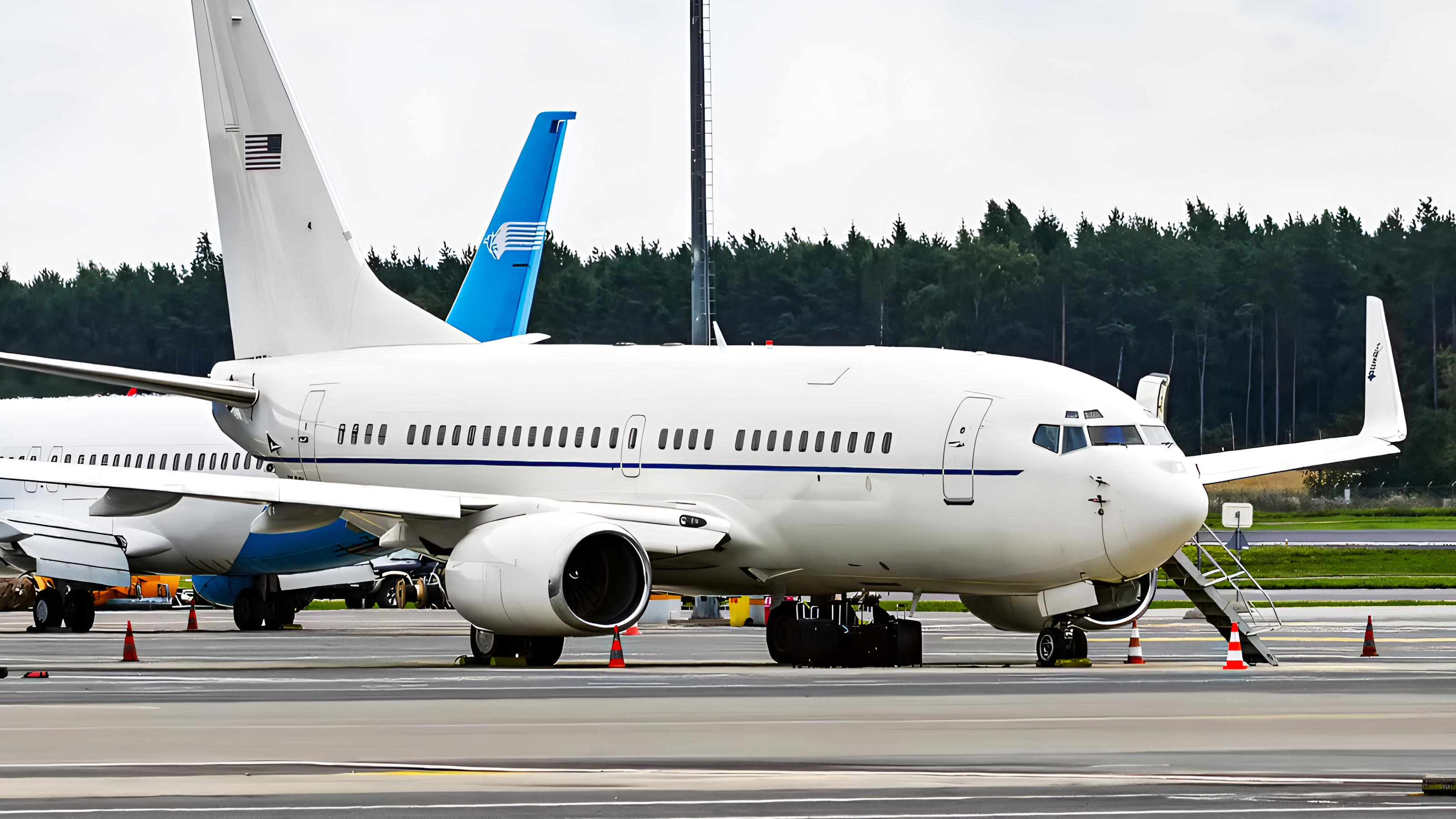
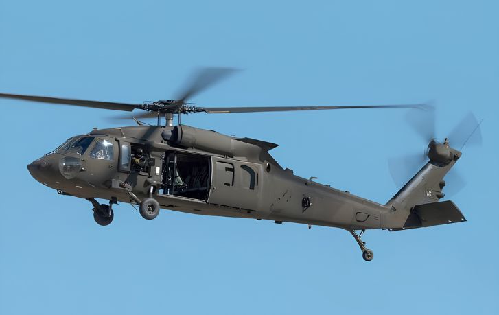
A U.S. Army Black Hawk’s altimeter showed 200 feet when the helicopter was actually 278 feet above the Potomac River before its collision with American Airlines Flight 5342. The discrepancy is one of several instrument, training and safety-management problems identified in the Army’s investigation of the Jan. 29, 2025 collision near Reagan National Airport, which killed all 67 people aboard the two aircraft.
The Army findings released in October 2026 do not establish the altimeter as the sole cause. Instead, they describe multiple defenses failing together: accepted instrument error, very narrow route separation, incomplete air-traffic information, difficult visual identification and safety systems that had not adequately captured earlier warning signals.
An instrument tolerance larger than the available margin
Older Black Hawks used barometric altimeters that could deviate by as much as 140 feet while still remaining within Army flight limits. Investigators also found that auxiliary fuel tanks, which the accident helicopter carried, could affect the readings. A fleet-wide examination of how weather and flight conditions influence altimeter accuracy remained incomplete.
Those facts matter because the helicopter and airline routes involved provided as little as 75 feet of vertical separation. In systems terms, the allowable altimeter error was almost twice the route’s minimum separation. That comparison does not prove the instrument discrepancy caused the collision, but it shows that the airspace design offered little capacity to absorb a permitted measurement error.
The risk was therefore not confined to one component. An altitude instrument provides information to the crew, but safe separation also depends on route geometry, air-traffic surveillance, controller instructions, pilot perception and independent collision-avoidance layers. When the available clearance is smaller than a known instrument tolerance, the surrounding system must compensate reliably. The Army’s findings indicate that those compensating safeguards were insufficient.
Visual identification carried too much of the safety burden
Investigators found that the Black Hawk crew likely focused on the wrong aircraft. Night-vision goggles also probably made the regional jet’s lights difficult to distinguish from the surrounding urban lighting. The Army faulted air traffic control for not supplying the incoming aircraft’s direction and distance, while the report identified two broken radio transmissions as a particularly important factor.
Each issue increased uncertainty at a point when the crews had little physical separation available. Night-vision equipment can support low-light operations, but a dense city background complicates the human task of finding and positively identifying one aircraft among many lights. Incomplete directional information further reduces the crew’s ability to confirm that it is looking at the correct traffic.
The Army report also says the Black Hawk was not transmitting key location data because its broadcast system was inoperable. That finding adds another missing layer, although it should not be treated as proof that one technology alone would have prevented the collision. Collision avoidance works best as a layered architecture rather than as a substitute for adequate route separation, accurate instruments or complete controller advisories.
Missing near-miss data weakened institutional awareness
The Army lacked a formal definition and reporting system for near misses. An interagency group discussing helicopter operations around Washington also did not track close calls, airspace violations or pilot deviations. Without a common definition and structured reporting channel, recurring hazards can remain isolated anecdotes rather than becoming measurable trends that trigger route or procedural changes.
This is an organizational counterpart to the instrument problem. An altimeter discrepancy can be tested and quantified; a weak reporting system makes it harder to determine how frequently multiple hazards are aligning. Earlier National Transportation Safety Board findings primarily faulted the Federal Aviation Administration for placing helicopter and airline routes too close together. The Army investigation broadens the safety picture by identifying shortcomings within military operations and coordination as well.
The Army has issued a service-wide notice about possible altimeter error, strengthened training for crews operating near Reagan National Airport and agreed to share collision-risk data with the FAA. It also inspected thousands of helicopters after the location-broadcasting problem was identified. The NTSB has said the Army made progress on most of its recommendations, while finding that additional work remained.
Important gaps are still unresolved. Substantial portions of the Army material supplied to families were redacted, including interview transcripts and specific altimeter findings. The report describes no disciplinary action, and a broader Black Hawk operator-manual update is not expected until 2027. Competing congressional measures addressing aircraft tracking and communication have not become a reconciled law.
The immediate notices and training changes add defenses, but the longer-term test is whether altitude tolerances, route separation and near-miss data are managed as one connected safety system. Until the fleet study and manual revision are complete and the obscured findings are more fully accounted for the known 200-foot indication at an actual 278 feet remains both a documented discrepancy and an incomplete engineering explanation.
| More aerospace and engineering stories, right in your MSN feed. Follow AMI on MSN |
By Thomas Caldwell — AMI’s senior editor for mechanical and mobility engineering, covering vehicle electronics, systems integration, electrification, chassis systems, propulsion, and safety policy.