Why Artemis 2 Astronauts Had to Learn Lunar Geology Fast
The moon becomes more valuable as soon as people can describe it properly. This lesson was learned from Artemis 2: the usefulness of a lunar flyby should not be judged by the number of photos taken; instead, the main question should be whether a crew can see ridges, basins, color changes, and crater walls and analyze these fleeting images scientifically.

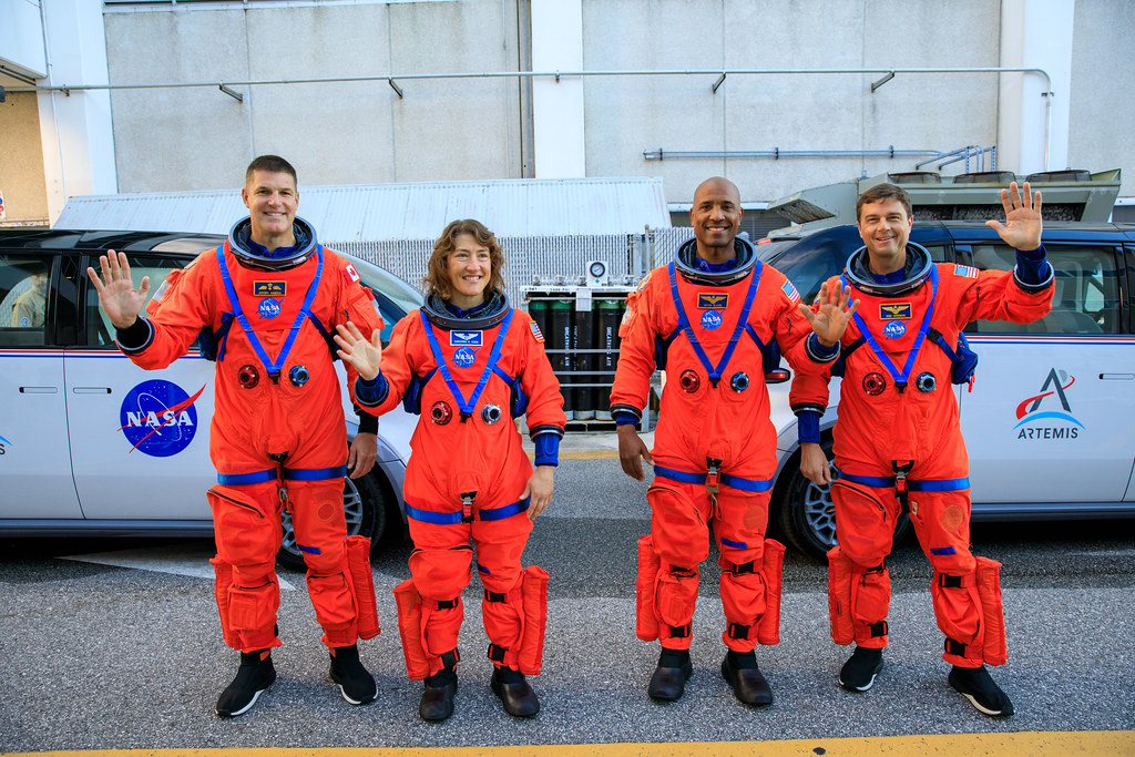
This is why, prior to their mission, the Artemis 2 astronauts were trained more as geological observers rather than passengers. Lunar specialists developed a compact yet rich guidebook for the crew to prepare them to detect priority sites on the moon and learn how to speak the right terms about the observations. Words like boundary, shape, and texture helped interpret the impressions into usable facts.
A similar attitude toward training is practiced by NASA in relation to the whole Artemis program. Not only do astronauts take field geology courses, but other members of mission teams, including engineers, managers, and flight controllers, get trained as geologists in the volcanic areas of Arizona. This way, the specialists gain a “a common language and a common understanding” required to explore the lunar surface together.
And this common understanding is very important since lunar traverses cannot be foreseen. The path may shift, interpretations will develop during a traverse, and back on Earth, specialists will have to interpret fragmentary information. Thus, the Artemis 2 mission confirmed the specific value of human observation which cannot be substituted by spacecrafts, sensors, or orbiters.
An orbiter can make calibrated observations during months, but astronauts who move over the lunar surface will be able to compare two regions almost immediately, noting differences in the color, brightness, and texture. In particular, during Artemis 2, scientists focused on astronauts’ calls as an effective way of recording this kind of comparative description.
Color became one of the biggest surprises of the Artemis 2. Although the crew had been taught to note any color changes despite their seeming implausibility due to the vast distance to the moon, the moon did not appear as a gray sphere to human eyes. Observations of Aristarchus Plateau (known to be a result of volcanism) included various brown and green colors which intrigued scientists. Color variations are important for geologists since they help determine the composition of the soil including different minerals that originated from magma and volcanic activity.
It is not surprising that the ability to analyze lunar features geologically stems from the heritage of human lunar missions. For instance, Apollo 17 astronauts spent many hours learning traverses, developing a strategy for sample collecting, and deploying nine surface instruments in the Taurus-Littrow valley. Artemis inherited this legacy but improved it through a more elaborate cooperation between different agencies. In particular, ESA astronauts practiced in Norway to master geology knowledge required for exploring the lunar highlands and the polar region in future missions.
Training programs begin well before a crew assignment, and Mark Helper, an associate professor at UT Austin, has played a crucial role in this process. Together with other teachers, he trained all astronauts of Artemis 2 in field mapping and analysis. After the mission, he noted about the callout from astronaut Victor Glover that “His descriptions were technically quite sound.” These are the words to summarize the mission: lunar exploration needs astronauts able to observe the surface in a way geologists can.
Consequently, the benefits extend far beyond the moon. Due to the absence of water, atmosphere, and plate tectonics, Earth does not have any records of its early evolution. On the contrary, the moon is full of them, so the ability to read the lunar landscape means being able to reconstruct lost Earth history.