Study finds NASA’s Artemis II caused 3,100-mile disturbance disrupting GPS across America
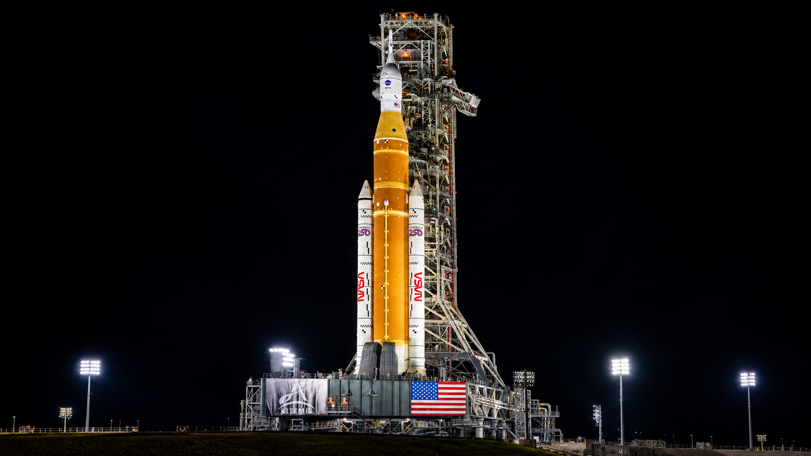
About 3,100 miles: That is the reported length of an ionospheric disturbance produced by NASA’s Artemis II lunar-flyby mission. Researchers found that the disturbance extended far beyond the rocket’s immediate flight corridor and disrupted GPS signals across the United States.

The reported effect was significantly more intense than ionospheric disturbances associated with previous rocket launches. The study did not quantify the resulting positioning error, identify individual affected locations or specify how long the disruption lasted. It also reported no accidents, equipment damage or broad GPS service outage. The result is instead a measurement of how a major spaceflight altered the signal-carrying environment above a large part of the country.
Why 3,100 miles matters
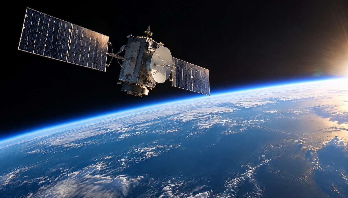
GPS receivers determine position by measuring signals transmitted from multiple satellites. Those radio signals must cross the ionosphere, a region of electrically charged particles high in Earth’s atmosphere. Changes in the distribution of those particles can alter signal propagation and introduce errors into the distance measurements used to calculate a receiver’s location.
The size of the Artemis II disturbance is therefore more consequential than a localized change near a launch site. A roughly 3,100-mile reach means the measured effect spanned a continental-scale area, connecting one lunar mission with navigation signals used far from the rocket’s path.
That does not mean every GPS receiver across the country failed or produced the same error. GPS performance depends on satellite geometry, atmospheric conditions, signal blockage and receiver design. According to the federal government’s GPS accuracy guidance, smartphones are typically accurate to within a 16-foot radius under open sky, while dual-frequency receivers and augmentation systems can achieve much finer precision. The Artemis II study did not provide enough data to place its disturbance on that scale.
Rocket disturbances are measurable, but they vary
Rocket-induced changes in the ionosphere are not unprecedented. A 2018 study of SpaceX’s Falcon Heavy launch used a network of more than 2,200 ground receivers to detect traveling ionospheric disturbances. Those waves propagated about 900 miles from the Florida-Atlantic region toward Lake Ontario and lasted roughly 100 minutes.
The Falcon Heavy research attributed its observations to atmospheric waves generated during ascent and also identified a localized reduction in ionospheric electron content. More broadly, launch studies have found that rockets can affect the ionosphere through dynamic processes such as shock and gravity waves, as well as chemical interactions involving exhaust at high altitude.
The available Artemis II findings do not identify which mechanism produced its much larger reported disturbance. Its scale, however, makes direct comparison useful: the approximately 3,100-mile Artemis II extent was more than three times the roughly 900-mile propagation distance documented after Falcon Heavy’s 2018 debut.
Precision users have the most at stake
A small positioning error may be unremarkable for a driver following a map but more important for systems that depend on tightly controlled location data. Researchers identified autonomous vehicles as one example because their operation can draw on precise positioning information. No autonomous-vehicle malfunction was tied to Artemis II, and such vehicles also use other sensors rather than relying on GPS alone.
The same boundary applies to other precision users: a disturbed signal environment creates a potential error source, but the operational result depends on receiver quality, correction services, system redundancy and the duration and intensity of the disturbance. Without measured positioning errors, the finding supports concern about navigation performance rather than a claim of widespread system failure.
Artemis II reportedly set a human-distance record during its lunar flyby, but its reach was not confined to the crew’s path around the Moon. The 3,100-mile ionospheric signature shows that increasingly ambitious launch missions can leave measurable effects across navigation infrastructure thousands of miles from the ascent corridor a factor future launch monitoring will need to resolve in duration, intensity and actual positioning error.
| More aerospace and engineering stories, right in your MSN feed. Follow AMI on MSN |
By David Whitaker — Associate editor for AMI’s aerospace and drone systems desk, translating flight systems, aircraft programs, spaceflight, and UAV developments into accessible technical stories.