Drone Crews Face a New Targeting Trap as GPS Fails
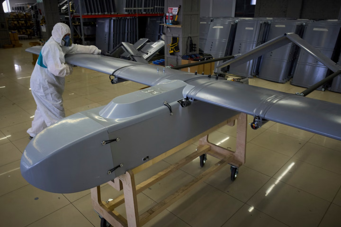
“In contested environments, the sensor’s imagery and video collections are only half the battle,” noted Kurt de Venecia, Senior Director Product Development at BAE Systems GXP. It really comes down to how well the sensor data is collected. This very contradiction has become the defining challenge for the current generation of uncrewed aircraft. An aircraft can successfully transmit HD-quality video, while the metadata of its geolocation gets corrupted, pushing the target location out of focus and making it virtually impossible for an operator to act upon the information.

Vantor and BAE Systems’ innovation centers on georegistering live videos with respect to 3D terrain and providing metadata correction for video streams before processing begins inside the GXP. Rather than using GPS as the absolute reference for geolocation, Vantor’s algorithm estimates the position of the drone based on visual positioning systems. According to the vendors, this technique allows for ground coordinate precision to within less than three meters, which is important as image quality alone does not ensure accurate coordinates. The crux of the issue is thus the increased confidence in the map that is attached to each image, and that is why drone navigation has become vulnerable in recent years.
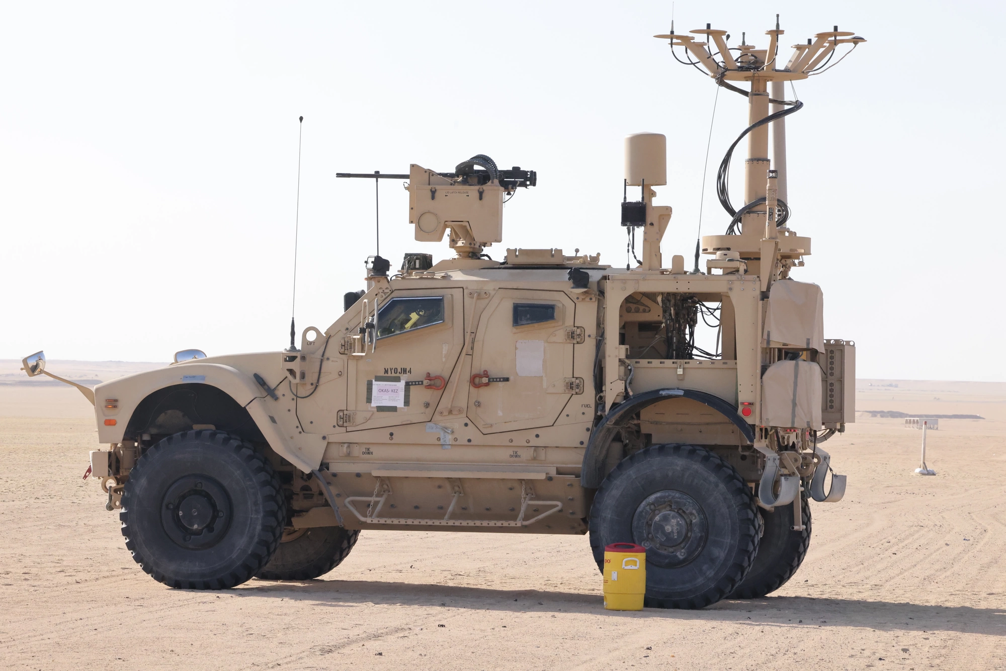
It is important to emphasize the distinction between two main sources of navigation error GPS jamming and GPS spoofing. Jamming occurs as a result of overwhelming the receiver with radio frequency energy. GPS spoofing involves transmitting fake GPS data that is still acceptable to the GPS receiver and causes the position error. The problem has spilled into the civilian sphere, causing a 400% increase in GPS spoofing incidents affecting commercial aircraft, according to OPSGROUP quoted by PNI Sensor. Such a state of affairs explains the shift towards assured positioning, navigation, and timing, or A-PNT, instead of GPS dependence.
Among other alternatives are inertial navigation systems that employ accelerometers and gyroscopes to navigate without GPS signals. Anti-jam antennas that allow receiving satellite signals amid GPS interference represent another solution. In earlier experiments with anti-jam antennas mounted on small unmanned aircraft systems (UAS) carried out by the U.S. Navy, the outcome was reported as successful. Vantor’s algorithm for terrain matching is yet another way of navigation through correlation with the external world. Instead of satellite data, drones navigate based on the terrain and its geometry.
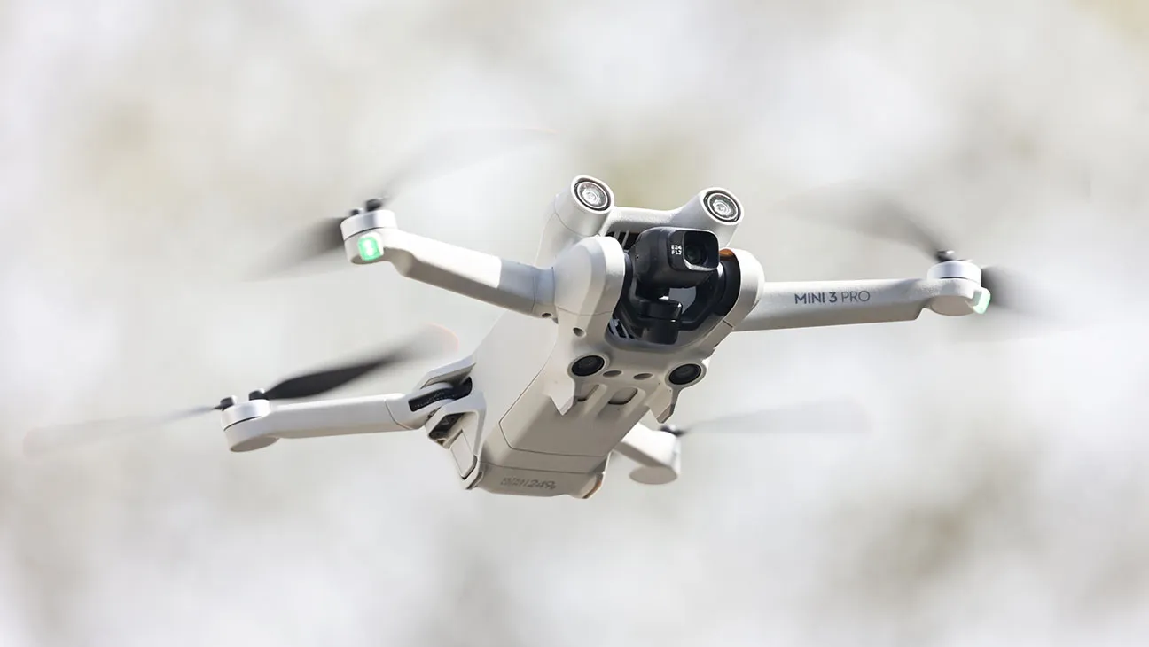
This method also brings military targeting closer to a more general drone trend observed in infrastructure inspections, underground mining and industrial surveying. In conditions of lost GPS connectivity, drones are developed to operate autonomously with obstacle sensors and high-resolution 3D modeling of any space. This very logic that enables drones to fly in tunnels and dense buildings may also preserve geospatial data accuracy amidst jamming.
“By using Raptor to correct video before it enters the GXP Ecosystem, we’re enhancing the performance of existing and new drone fleets. The result is a more resilient workflow for extracting accurate ground coordinates and maintaining operational tempo” commented Paul Millhouse, Sr. Director, Raptor Products at Vantor. “We are ensuring greater efficiency with regard to accurate ground coordinates, while increasing the speed of operations.” For all drone programs, this might turn out to be the major lesson. The future of drone navigation will be defined by the ability to preserve reliable ground coordinates while video quality remains perfect and map coordinates get corrupted.