SwissDrones Plans U.S. Long-Range Inspections, but Federal Aviation Administration Approval Remains Essential
SwissDrones and Xplorate Pacific have an aircraft, sensor suite and international operating record suited to inspecting long stretches of infrastructure. What they do not yet have is authorization to provide that service routinely in the United States. Their planned expansion therefore represents the start of a U.S. operating and regulatory effort not a completed launch.
The companies intend to establish commercial, regulatory, operational and customer-support capabilities for North American energy, utility, transportation and other infrastructure operators. Any long-range U.S. missions would remain subject to applicable Federal Aviation Administration approvals. The FAA identifies beyond-visual-line-of-sight flights among the advanced drone operations that may require additional certification or approval beyond the standard small-drone rules.
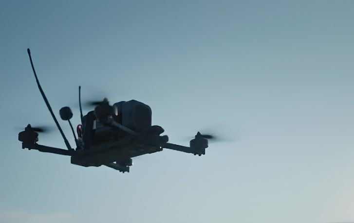
That distinction matters because the proposed service is not simply an aircraft sale. SwissDrones supplies the turbine-powered SDO 50 uncrewed helicopter, while Xplorate brings operating personnel, maintenance support, safety cases, sensor integration, data processing and infrastructure analytics. Satellite-enabled command and control can also be incorporated when authorized and appropriate for a particular mission.
Industrial customers need more than an aircraft. They need a complete operating capability that combines aircraft performance, regulatory approvals, trained personnel, sensor integration, and data delivery, Group CEO Larry Berkin said.
Aircraft performance is only one layer
The commercially available SDO 50 is a vertical-takeoff-and-landing aircraft designed to carry mission-specific payloads. Supported sensor categories include LiDAR, conventional color imaging, multispectral equipment and other industrial sensors. That flexibility is intended to support inspection of pipelines, powerlines, well sites, processing facilities and transportation corridors without tying the service to one type of data product.
For an infrastructure owner, the useful output is not flight time by itself. It is georeferenced data that can enter engineering, integrity, environmental or compliance workflows. The integrated model consequently has to connect aircraft dispatch, sensor configuration, communications, maintenance, regulatory limits and data delivery. A weakness in any one of those layers can constrain the complete operation even if the aircraft is physically capable of flying the route.
Xplorate’s Australian work provides the clearest indication that the model can support recurring commercial missions. The company uses the SDO 50 for inspections along a 550-kilometer pipeline corridor in Queensland. It also holds an authorization covering approximately 58,000 square kilometers of the Surat Basin, supporting day and night flights beyond the pilot’s direct view across defined infrastructure and operating areas.
Those figures establish an operating record, but they do not transfer automatically into the U.S. airspace system. The Australian missions remain governed by their authorization, operating procedures, airspace requirements, risk controls, environmental conditions and customer-specific terms. U.S. programs would likewise have to be structured around the aircraft, route, communications architecture, personnel and risks of each proposed operation.
The U.S. model will be program-specific
Berkin said the objective is to give U.S. infrastructure operators a practical way to evaluate and deploy long-range uncrewed inspection under available regulatory pathways. He added that the companies would approach the market program by program, with safety, regulatory compliance and customer requirements determining each operating model.
No U.S. customer, secured FAA approval or domestic deployment date has been announced. That leaves several commercial and operational questions open, including which infrastructure class would host the first program, what sensors it would require and what conditions an FAA authorization might impose.
SwissDrones is also developing a larger-capability aircraft called the SD120. Its objectives include greater payload, endurance, redundancy, system assurance, multi-sensor integration and satellite-enabled operations. Chief Technology Officer Lukas Obrist said the goal is to increase mission capability and assurance while supporting demanding regulatory and customer requirements.
The SD120 is being engineered to support operations targeting SAIL IV under Europe’s Specific Operations Risk Assessment framework. SAIL IV is an operational-risk classification, not aircraft certification. The aircraft’s objectives also remain contingent on engineering validation, regulatory review, financing and commercialization milestones.
For the near-term U.S. effort, the relevant platform is the available SDO 50 and the operating system built around it. The companies have demonstrated recurring inspections over a 550-kilometer Australian pipeline corridor; their next milestone is showing that the same aircraft-to-analytics model can earn approval under defined U.S. conditions.
| More aerospace and engineering stories, right in your MSN feed. Follow AMI on MSN |
By Stephen Wallace — Editor for AMI’s aerospace integration and unmanned mobility coverage, focused on drone manufacturing, VTOL systems, autonomous networks, and air-ground mobility links.