Russian GPS Jamming Stops Norway’s Mapping Flights, Leaving Arctic Survey Unfinished
Norway’s aerial-mapping instruments stopped taking photographs in 2024 when they lost satellite positioning over Eastern Finnmark. The interruption was not just momentary interference: the Varanger 2024 mapping project remains incomplete after two years of data collection, with the largest gaps near the Russian border. Measurements by Norway’s communications regulator, Nkom, traced the interfering signals to Russian territory on the Kola Peninsula, although Norwegian authorities have not identified who operated the transmitters or established that Norway was the intended target.

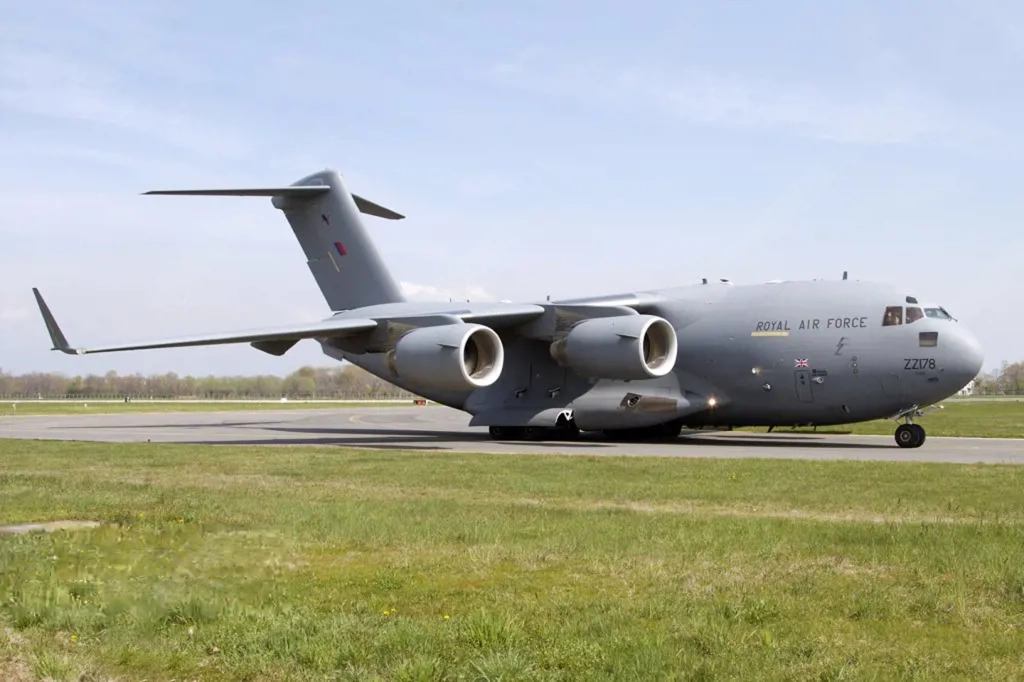
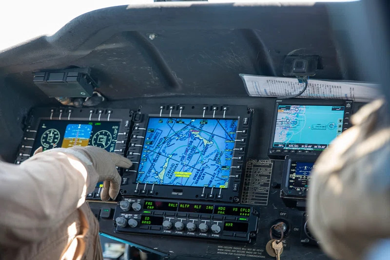
The missing imagery makes it harder to update maps used for government administration, planning, navigation, security and emergency preparedness. Inaccurate elevation data can also distort predictions of where floodwater will travel. Norway is now testing practical alternatives during Jammertest 2026, a controlled exercise involving jamming and spoofing at Andøya from September 14 through 18. Initial trials caused major problems for the mapping aircraft pilots’ navigation instruments.
The camera failure began with lost position
Aerial surveying depends on more than a camera mounted in an aircraft. The flight crew must follow planned survey lines closely enough to produce overlapping photographs, while onboard systems associate each image with accurate position and orientation data. Those records are needed to turn separate photographs into orthophotos and map products with useful geographic accuracy.
When satellite positioning disappeared during the 2024 flights, the instruments stopped taking the planned photographs. That left holes in the source data rather than merely reducing the precision of completed images. A later software correction cannot recreate terrain that the camera never captured, so the affected areas require another collection method or another flight.
This distinction explains why persistent interference can turn into a multiyear mapping delay. Survey aircraft, crews and suitable weather must be available, and another attempt still faces the same disrupted signal environment. Areas undergoing construction or other rapid change are particularly sensitive to stale mapping, but even relatively stable terrain requires dependable elevation information for planning and flood modeling.
A backup must support the entire survey chain
Jamming blocks or overwhelms the weak radio signals used by satellite-navigation receivers. Spoofing presents a different problem by feeding a receiver manipulated signals that can produce a false position or time while the equipment appears to remain operational. For a mapping mission, either condition can affect the aircraft’s navigation, the triggering and recording of sensor data, or the geographic accuracy of the finished product.
That is why a backup listed in a technical plan is not necessarily an operational backup. It must be tested with the aircraft, pilot displays, survey sensors, timing systems and post-processing workflow under representative interference. At Andøya, Norway’s mapping authority is examining whether pilots can remain on the required survey line, whether instruments continue collecting data and how much error reaches the final map.
The early navigation difficulties matter because present-day aerial mapping requires pilots to remain within a narrow corridor around the planned line. Moving too far away can leave gaps between image strips. Norway still has to analyze the collected test data before determining how severely the controlled interference affected the quality of the resulting maps, so the final performance of the tested alternatives remains unresolved.
Older methods remain possible, but carry costs
One fallback is to use numerous surveyed control points on the ground, as mapmakers did before satellite positioning became standard. Establishing those points is expensive, however, and measuring their locations becomes harder when the same satellite services are unavailable. The method also creates a fieldwork burden in remote Arctic terrain.
Norway is additionally studying high-resolution satellite imagery and techniques drawn from robotics. Satellite images can provide another source of geographic data, but the available information indicates that they offer lower accuracy than current aircraft-based mapping. Robotics-derived methods may help systems estimate position from other observations, yet they still must prove that they can preserve the precision and continuity required for official maps.
The controlled campaign brings together 127 organizations and companies and more than 300 participants across aviation, maritime, telecommunications and other sectors. Previous Arctic equipment trials have shown that cold can disable hardware designed for milder environments; the Varanger failure demonstrates that an aircraft and camera can remain physically operable while loss of an external signal still stops the mission.
For Norway, the next decisive result will come from analyzing whether the Andøya flights produced accurate, complete mapping data despite the interference. Until a tested replacement can keep the aircraft on line, preserve sensor collection and support precise processing, Varanger 2024 remains a concrete example of how disrupted satellite navigation can leave a government map unfinished for years.
| More aerospace and engineering stories, right in your MSN feed. Follow AMI on MSN |
By David Whitaker — Associate editor for AMI’s aerospace and drone systems desk, translating flight systems, aircraft programs, spaceflight, and UAV developments into accessible technical stories.