Researchers Confirm Silverpit Impact, Model 100-Meter-Plus North Sea Tsunami
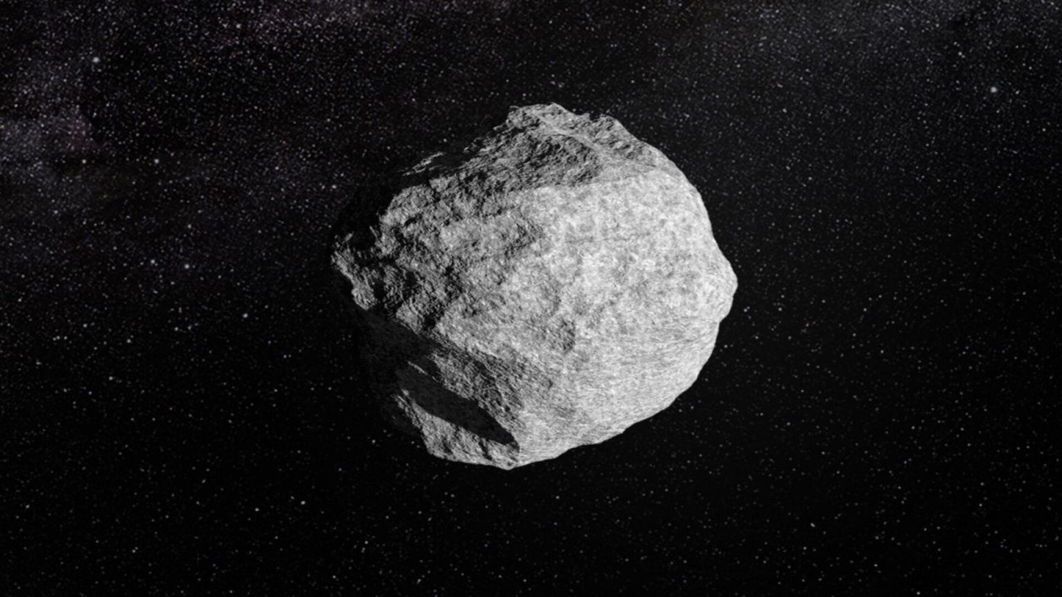
Microscopic damage locked inside quartz and feldspar has supplied the physical evidence needed to identify Silverpit as an impact crater. The finding resolves a dispute that began with the structure’s discovery in 2002, while computer modeling indicates the roughly 160-meter asteroid or comet may have generated a tsunami more than 100 meters high near the impact.
The crater sits beneath the North Sea about 130 kilometers off Yorkshire in eastern England. It measures approximately three kilometers across, lies roughly 700 meters below the seabed and is surrounded by ring faults extending nearly 20 kilometers. Researchers place its formation between 43 million and 46 million years ago.
For more than two decades, its circular shape and surrounding faults left several plausible explanations in play. Proposed origins included movement in underground salt deposits, volcanic activity and seafloor collapse. Seismic images could map the buried structure, but geometry alone was not enough to settle which process had produced it.
The decisive evidence was microscopic
Improved seismic imaging gave researchers a clearer view of the crater and helped them connect its geometry with rock samples obtained during oil-well drilling. Within material from a depth corresponding to the crater floor, they identified quartz and feldspar crystals carrying microscopic shock deformation. The results were published in Nature Communications.
Those deformations are the key finding because they record the extreme pressures associated with an impact. Ordinary geological processes generally cannot produce the same microscopic signatures. The mineral evidence therefore adds a physical pressure record to the larger structure visible in seismic data, sharply separating the impact explanation from the salt, volcanic and collapse alternatives.
This combination is especially valuable offshore. Seismic reflection data can expose faulting, displaced layers and crater geometry over a wide area, but drill samples provide direct material that can be examined at the grain scale. Here, the two methods reinforce each other: seismic imaging identifies where the crater floor should be, and the samples from that depth preserve shock-altered minerals.
The 100-meter wave remains a reconstruction
With the impact origin supported, researchers used computer modeling to reconstruct the event. Their calculations indicate that an asteroid or comet about 160 meters wide approached from the west and struck the seabed at a shallow angle. The modeled collision drove a column of water, rock and debris approximately 1.5 kilometers upward.
As that column collapsed, the model generated a tsunami exceeding 100 meters near the impact site roughly the height of a 30-story building. That figure is not a geological measurement of a preserved wave. It is an output dependent on the model’s assumptions and parameters, including the reconstructed impactor, trajectory and interaction with the marine target.
The distinction sets the boundary around the result. The shocked minerals address what formed Silverpit; the simulation estimates what followed. Evidence from the crater can confirm the extreme-pressure event without preserving a direct gauge of the water’s maximum height millions of years later.
Marine impacts are difficult to reconstruct because erosion, sedimentation and tectonic activity can bury, alter or erase craters and their surrounding deposits. About 200 impact craters have been confirmed on land, compared with roughly 33 beneath the oceans. Related research on another offshore structure has noted that the limited number of preserved and well-imaged marine craters makes it difficult to validate numerical models of crater formation and tsunami generation.
Silverpit’s preservation gives researchers an unusually useful view beneath the surface. Its crater, extensive ring faults, displaced rock and altered geological layers can be examined with seismic data, while drill material provides the microscopic evidence that remote imaging cannot. That makes the site more than a solved geological mystery: it is a physical reference point for testing how models represent impacts into water-covered terrain.
The strongest conclusion now rests inside the mineral grains. A cosmic body formed Silverpit 43 million to 46 million years ago. The extraordinary 100-meter-plus wave is the modeled consequence plausible within the reconstruction, but not a directly measured feature of the ancient North Sea.
| More aerospace and engineering stories, right in your MSN feed. Follow AMI on MSN |
By David Whitaker — Associate editor for AMI’s aerospace and drone systems desk, translating flight systems, aircraft programs, spaceflight, and UAV developments into accessible technical stories.