NASA Starling Navigates Without GPS Using Existing Star-Tracker Cameras
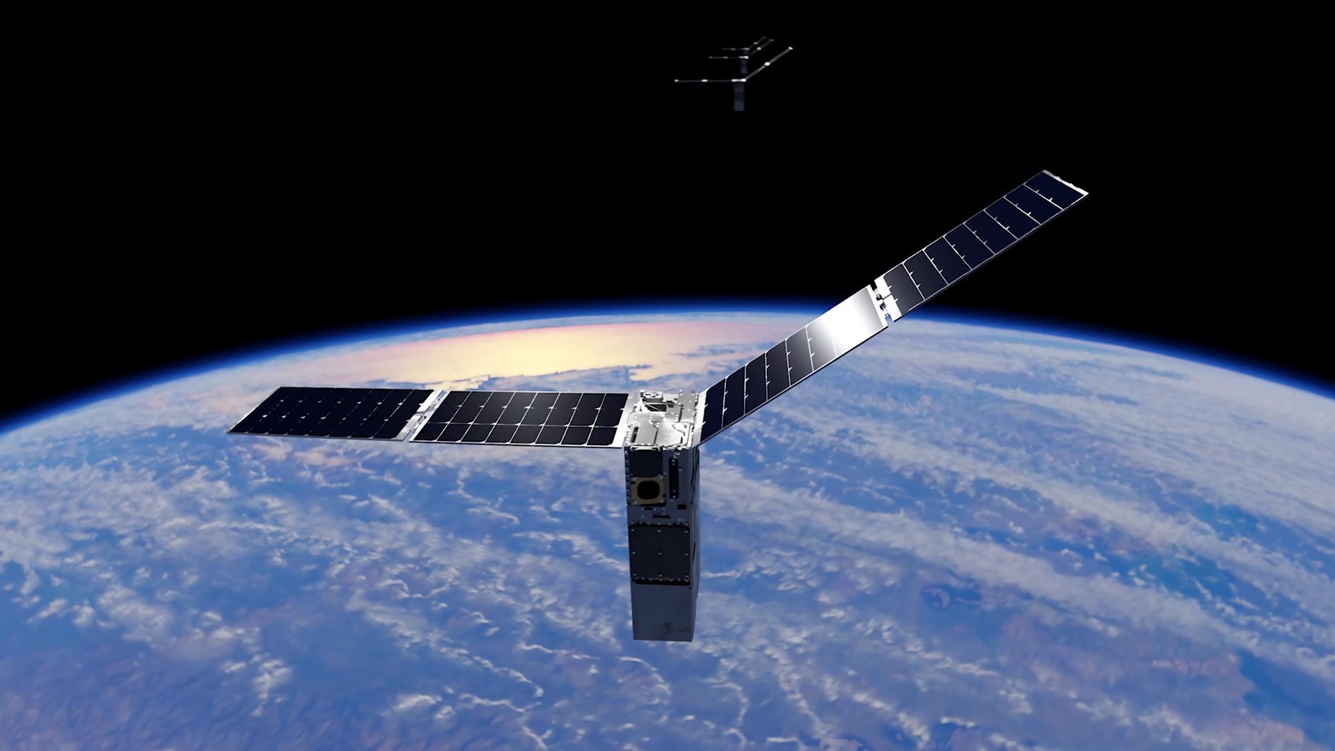
A star tracker normally answers a spacecraft’s attitude question: Which way am I pointing? NASA’s Starling mission has now used that same class of optical hardware to address a second problem: Where is the spacecraft in orbit? The FALCON flight demonstration combined Starling’s cameras, an onboard catalog and autonomous processing to determine the satellite’s orbit without relying on GPS or continuous ground intervention.
The mechanism begins with images of known objects. Starling’s cameras observed other spacecraft and orbital debris, while onboard software compared those detections with verified references and predicted orbits stored in a catalog. Once FALCON correlated an observation with a cataloged object, it could use that object as a reference point for estimating Starling’s own orbit.
That integration is the central engineering result. FALCON short for Fast Autonomous Lost-in-space Catalog-based Optical Navigation did not depend on a newly developed navigation-camera suite. It repurposed Starling’s existing star-tracker cameras and connected them to EraDrive’s Era-Core flight software, embedded algorithms and onboard catalog data. NASA described the result as the first time a spacecraft used optical cameras to determine its orbit by navigating relative to other objects in space.
Onboard processing also updated other objects’ orbits
The extended Starling mission tested a related but distinct capability: refining estimates for the objects seen by the cameras. The team loaded approximately 20,000 space objects and their predicted orbits onto the spacecraft. FALCON then correlated that catalog with new optical observations to estimate both Starling’s location and the locations of observed objects.
Over three days, the system improved orbit estimates for more than 200 objects without ground-operator intervention. NASA reported that the resulting onboard predictions were more precise than the ground-supplied catalog estimates. That establishes that the spacecraft could perform useful catalog refinement with its own sensors and processor, rather than merely retrieving a position from an external navigation signal.
It does not, however, establish an operational space-traffic-management or collision-avoidance service. NASA has not provided accuracy figures, processing-load data or performance across a broad range of lighting and observation conditions in the material released with the result. The demonstration showed autonomous orbit estimation and catalog updating aboard one spacecraft; the reliability, scaling and decision-making requirements of an operational traffic system remain separate engineering questions.
Software expands the utility of installed hardware
For small-satellite programs, the architecture is notable because mass, electrical power, processor capacity and communications time are all constrained resources. Using an installed optical sensor for another function can add navigation capability without requiring an entirely separate sensor package. The trade is greater dependence on software integration, onboard computing and a usable reference catalog.
The GPS-independent element also matters beyond conventional Earth-orbit operations, although the boundaries need to remain clear. GPS signals may be unreliable or unavailable in lunar, cislunar and deep-space environments. Optical navigation based on observed objects could reduce dependence on terrestrial navigation and tracking networks, but Starling’s test did not demonstrate lunar or Mars navigation. Those are prospective applications that would bring different catalogs, geometries, communications delays and verification demands.
FALCON is a joint experiment between NASA and EraDrive, a Stanford University spinout now commercializing Era-Core software and related hardware. The technology began through NASA’s University SmallSat Technology Partnerships effort, while Starling supplied a U.S. government flight platform for moving the concept from development into an orbital test.
The next milestone will test whether this approach can work as a distributed capability rather than a single-spacecraft demonstration. NASA plans to extend the experiment across all four Starling satellites later in 2026, allowing them to share tracking observations and collectively refine their positions. That swarm test will address a harder systems question: whether multiple small spacecraft can combine optical measurements and onboard processing into a coordinated navigation estimate without returning every calculation to the ground.
| More aerospace and engineering stories, right in your MSN feed. Follow AMI on MSN |
By David Whitaker — Associate editor for AMI’s aerospace and drone systems desk, translating flight systems, aircraft programs, spaceflight, and UAV developments into accessible technical stories.